
Columbia Heights ZIP Code Coverage
The official Minnesota Department of Vehicle Services county-and-ZIP document identifies Columbia Heights in Anoka County with ZIP code 55421. County GIS samples at three Columbia Heights parcels also display 55421 as the situs ZIP. That is the verified city ZIP for this ZIP code directory. The researched official material did not establish additional city-serving ZIP codes, a PO-box-only ZIP, or a unique ZIP for Columbia Heights, so those should not be added by assumption.
| ZIP code | Areas covered | Post office | Columbia Heights note |
|---|---|---|---|
| 55421 | Columbia Heights, Anoka County city ZIP | USPS address lookup verifies the current delivery line | Verified in the Minnesota DVS city-county crosswalk and county parcel samples |
A ZIP code is a delivery geography, not a complete map of municipal limits. Use it as an address check, then keep the city, county, and parcel fields together when a record needs to be compared.
Verify a Columbia Heights ZIP Code
The USPS ZIP Lookup is the current official route for an exact address or a city-and-state search. Enter the address as it is known and use the returned preferred city line and ZIP rather than copying an historic label from another source. If the USPS city line differs from the municipal identity used by a local record, preserve both pieces of information. USPS resolves present delivery formatting, while the city and county sources resolve their own geographic and recordkeeping roles.
USPS ZIP Code basics explains that standard ZIP codes support mail sorting and that unique ZIP codes can be assigned to high-volume organizations. No official source reviewed established a unique or PO-box-only Columbia Heights ZIP. A precise answer should therefore say that the status was not located, rather than inventing a special postal category.
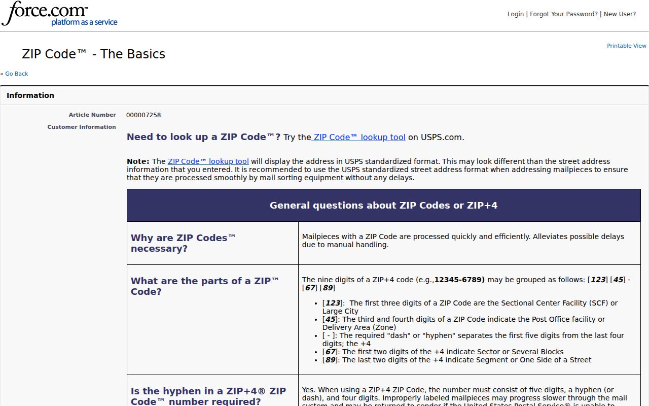
The USPS source is strongest for the current delivery line. It does not determine property ownership, current occupancy, a voting status, or the legal parcel description.
Note: Use an exact address for delivery verification, because a ZIP alone does not identify one parcel or one person.
Columbia Heights ZIP Map Check
The Anoka County Map Downloads page offers a ZIP Code map with the county's road, community, and education map resources. It is a visual cross-check for county geography. The map should sit beside, rather than replace, the USPS result for a current address. A reader who sees a mismatch should retain the parcel situs, postal line, and city identity until the responsible office clarifies the difference.
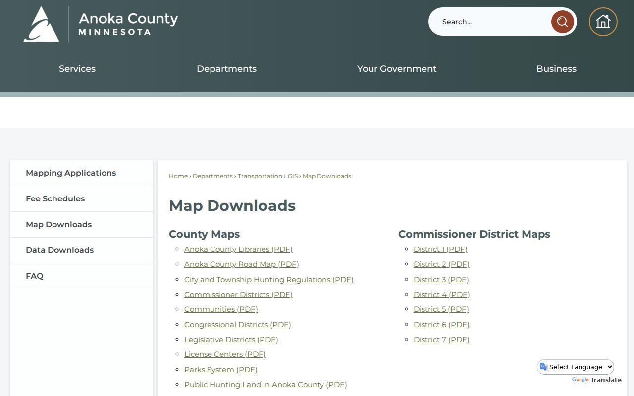
The map shows broad postal geography. It is not a street-by-street city-limit table, and the research did not locate a complete local boundary chronology or preferred-city alias list.
Columbia Heights ZIP Parcel Fields
Once an address has a verified delivery line, use the Anoka County Property Search GIS to see the parcel's situs city and ZIP. The GIS searches by house number and street, a partial address, or a PIN. It also supplies parcel, plat, aerial, and map-layer context. The tax/property site can add its own tax-year and owner-mailing fields when it is available, but it displayed maintenance during the research capture. The GIS and the county office are the documented fallback routes.
Do not use the owner mailing ZIP as though it were the parcel ZIP. The county's sample for 1209 43 1/2 Ave NE shows a Columbia Heights situs ZIP of 55421 and an owner mailing address in Spring Lake Park, 55432. A Central Avenue sample has a mailing city in Marine on St Croix. Those distinct fields are the reason a ZIP code directory must distinguish postal, situs, and mailing geography.
Anoka County GIS information describes the county's property detail, historical aerial, plat, and half-section map resources.
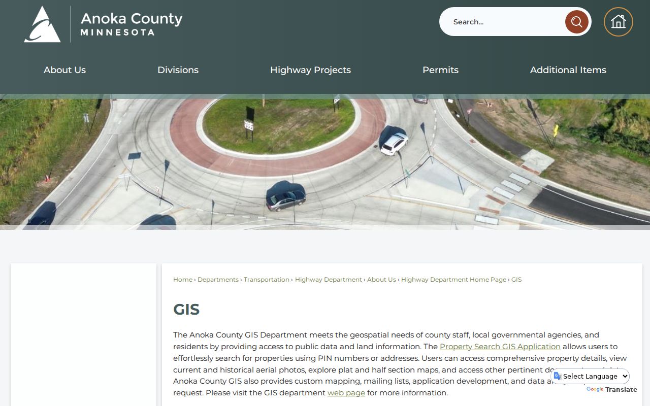
The GIS is the better place to confirm parcel context after USPS confirms delivery formatting. A physical parcel, a tax mailing contact, and an owner record may all carry separate locations.
Columbia Heights ZIP Lookup Fields
Minnesota's Voter Registration Lookup has a ZIP-or-county address toggle, but it is a verification tool for a known individual, not a ZIP-wide resident search. It requires the full name, a complete date of birth, and the address details below. Its result confirms registration status and offers next steps. It does not create a public list of everyone associated with a ZIP.
| Official lookup field | Required? | Format or choice | Purpose |
|---|---|---|---|
| First and last name | Yes | No Jr./Sr.; visible rules allow letters, spaces, hyphens, and apostrophes | Identifies the person being verified |
| Birth date | Yes | MM/DD/YYYY | Distinguishes the registration record |
| Address route | Yes | Choose ZIP or county | Starts the address portion of the check |
| ZIP, county, city/township, house number, street | Yes on ZIP route | House number is numbers only | Matches the known registration address |
| Apartment or unit | Conditional | Select the box, then enter the unit number | Completes an address that requires a unit |
The lookup is updated nightly, although officials may need up to 14 days after processing a registration or change. Formatting, a new move, a suffix, or a unit can cause a mismatch. Anoka Elections and MNVotes are the official contacts when that happens.
Search Residents by Columbia Heights ZIP
A ZIP code narrows an address question, but it does not identify a household. Use the postal and parcel sequence below, then shift to an address-based record only when the intended question calls for it. This keeps a Columbia Heights ZIP code directory focused on postal granularity instead of trying to rebuild the street-level chain.
- Check the exact address with USPS and record the returned ZIP and preferred city line.
- Confirm that Columbia Heights, Anoka County, and 55421 appear together in the Minnesota DVS crosswalk and county parcel context.
- Search the house number and street, or PIN, in Anoka GIS to review the situs ZIP, parcel, plat, and map layers.
- If verifying a known voter registration, use the protected MNVotes form with the full identity and address fields. Do not treat the ZIP as a person-search filter.
- When the ZIP has narrowed the location to a street, use the Columbia Heights street directory for the separate parcel-to-deed and city-record workflow.
Anoka County's address-based precinct finder can also return precinct, ward, MCD, county, legislative, school, and special-district geography. It is useful for the location of a known address. The county's broader voter database has legally restricted uses and should not be converted into a general ZIP list.
Note: A ZIP filter is an address component, not independent evidence that a named person is connected to that location.
Situs and Mailing ZIP Codes
The local comparison is simple: the ZIP at the parcel, the ZIP on an owner's mailing line, and the city shown by USPS can each be valid for different fields. The county samples place the Columbia Heights parcel sites in 55421 while showing mailing locations elsewhere. A tax record's owner field likewise identifies a record role, not a current resident. Preserving the field label is more useful than choosing one ZIP and forcing every fact to match it.
| Field | What it represents | What it does not establish |
|---|---|---|
| USPS delivery ZIP | Current postal formatting for an address | Municipal limits or ownership |
| Parcel situs ZIP | ZIP carried with the physical county parcel | An owner's mailing location |
| Owner mailing ZIP | Where the tax record sends mail | Who is at the parcel now |
| Legal description | Land identity through plat, lot, block, or other legal terms | A preferred postal city line |
This distinction also guards against a common error: a mailing ZIP from a property record should not be used to move a Columbia Heights parcel into another city.
ZIP Codes Before Columbia Heights
ZIP codes postdate much of the local record trail. They should not be inserted into nineteenth-century or early twentieth-century directories, plats, maps, or land instruments as if they were original labels. For an older Columbia Heights address, search the street, locality, route, township, plat, and Anoka County instead. Before the village formed in 1898, Fridley Township context may be the relevant place clue. A modern 55421 reference can be kept as a helpful note, but the older source should retain the geography it actually uses.
County historical maps, 1914 and 1916 Anoka plats, and the 1912 and last-revised-1930 Sanborn volume help translate built geography before current postal and GIS systems. They answer a different question from USPS: where the place was described at the time, rather than how mail is currently formatted.
ZIP Code Boundary Limits
Columbia Heights city limits and ZIP boundaries are not interchangeable. The verified city ZIP is 55421, yet researched county samples show owner mailing ZIPs such as 55432 and mailing cities outside Columbia Heights. That is a local field mismatch, not proof that the parcel changed cities. The DVS list provides the city-county crosswalk, USPS gives the current delivery line, and Anoka GIS shows parcel situs. When they differ, preserve the disagreement and ask the responsible custodian rather than correcting it by intuition.
- ZIP code
- A postal sorting code tied to mail delivery geography. It is not a property or resident record.
- ZIP+4
- An added four digits that sort mail more precisely within a ZIP code. It is not a municipal boundary.
- PO-box ZIP
- A ZIP used for post-office boxes rather than general street delivery. No such Columbia Heights status was located in the reviewed official sources.
- Unique ZIP
- A ZIP assigned to a high-volume organization or government entity. No Columbia Heights example was established by the research.
- Carrier route
- A postal delivery sequence within an area. It does not establish ownership, civic jurisdiction, or household membership.
For map or parcel clarification, Anoka GIS lists 763-324-3100. City Hall can speak to municipal identity at 763-706-3600, while USPS remains the delivery-address authority. If online tools do not settle an older address, make a map or archive reference request using the exact address, plat, and year, then consult historical plat, directory, or Sanborn material at the documented library and archive repositories. Respect Safe at Home and other protected-address rules when an official record does not expose a location.