
Find a Columbia Heights Street
Start with an exact Columbia Heights address when possible. The Anoka County Property Search GIS accepts a house number and street, or a partial address when the complete line is unknown. Leave out the city name and punctuation, choose the correct match, and save the PIN, the county's stable parcel identifier. A street fragment, an intersection written as street name&street name, a plat name, or a map click can help narrow a street without treating the result as a list of occupants.
That first parcel view separates several facts that are often confused. It can connect the physical address, parcel boundary, plat, lot and block, tax details, and an owner mailing line. It cannot by itself establish who is present at the address today. The street directory works best as a record trail, with each later source checked for its own date and purpose.
- Search the address or street fragment in the county GIS and record the matching PIN, situs address, plat, and lot/block information.
- Open the related tax or property record when the Property Access Site is available, and note the tax year, owner field, mailing address, and legal description separately.
- Use the PIN and legal description with the Recorder/Registrar of Titles to find grantor and grantee entries, document numbers, and recording dates.
- Use Anoka County's precinct finder for address geography. Minnesota's voter verification tool requires a known person's full name, date of birth, and address, and is not a street-wide list.
- For a past address, pair the parcel trail with maps, newspapers, or a reverse directory. The historical collections are described on the Columbia Heights city directory page.
Note: Keep the PIN with every request, because a street spelling or mailing line can change while the parcel identifier provides a steadier bridge.
Search Columbia Heights Streets in GIS
The county GIS is the main current street tool. It offers Addresses, Parcel IDs, Plats, Half Sections, Schools, and Public Buildings as search categories. Address research can be widened carefully with a partial house-and-street entry, then narrowed by choosing among the returned parcels. PINs may be entered with dashes or without them. The map also offers current and historical aerials, regular and aerial basemaps, plat boundaries, measurement, map printing, and a Near Me radius function.
Those map tools answer different questions. A plat layer helps connect a street to its legal subdivision. Historical aerials can show a physical change over time. A map PDF preserves the parcel area being reviewed. Mailing-label, buffer, and export functions are bounded research features, not permission to make or republish a bulk owner or address list. The county's property portal separately warns against data mining or extraction.
| Columbia Heights GIS search | Entry or format | What it helps locate |
|---|---|---|
| Address | House number and street, or a partial fragment; omit city and punctuation | Matching situs address and parcel |
| Intersection | street name&street name | Street crossing and nearby map context |
| PIN / Property ID | Dashes optional, such as 06-31-24-33-0108 | One stable parcel record |
| Plat | CIC, condo, audited subdivision, registered land survey, or ROW plat | Subdivision and legal-description context |
| Half section | N-13-30-24 or S-13-30-24 | Township-range map area |
When the tax site is under maintenance, the GIS viewer and the county's Property Records and Taxation office remain useful fallbacks. The county lists GIS assistance at 763-324-3100 and Property Records and Taxation at 763-323-5400.
Plats Behind Columbia Heights Streets
A modern street address may be absent from an older instrument even though the land is the same. County samples show this plainly: a Central Avenue parcel carries the plat name “Columbia Heights Annex to Minneapolis,” and a 5th Street parcel uses lots and blocks in that plat. The legal description, not the familiar address line, is often the better term for a recorder search. Compare the address, PIN, plat, lot, block, and map year before deciding that two records concern different places.
University of Minnesota digitized plat maps and atlases provide an Anoka County route to the 1914 and 1916 material named in the research.
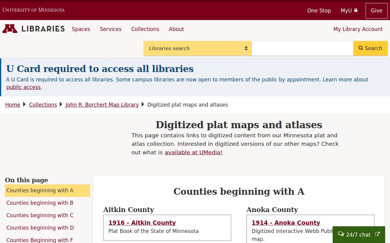
Use the plat to translate an older lot-and-block reference, then return to the current parcel and recorder trail. It provides geographic context, not proof of a present-day household connection.
- Parcel or PIN
- The county identifier for one mapped piece of land. It is the practical link between the map, tax detail, and a document inquiry.
- Situs address
- The physical location of the parcel. It can differ from an owner's mailing address.
- Plat
- A recorded subdivision map that organizes land into lots, blocks, and streets.
- Criss-cross directory
- A reverse-style directory arranged by address rather than by a person's name. It is a historical lead, not current proof.
Columbia Heights Deeds by Street
The Anoka County Recorder/Registrar of Titles keeps the permanent archive for deeds, mortgages, satisfactions, and other recorded real-property documents. A street directory search should move from an address to the PIN and legal description before looking for the deed chain. Then compare grantor, grantee, document type, instrument number, recording date, where the property is situated, and image availability. The statutory index fields in Minn. Stat. §386.03 explain why both name sides and the instrument details matter.
The Anoka County Land Records and Recording office supplies three access routes. The subscription product supports ongoing grantor/grantee work and recorded plats or surveys. Room 119 at 2100 3rd Ave, Anoka provides public real-estate and tract inquiry terminals Monday through Friday, 8:00 a.m. to 4:30 p.m., excluding holidays. Bulk optical images cost $0.15 each, but they are image-only and do not include the grantor/grantee index. The official research did not establish an online coverage cutoff.
The county land-records page identifies the recorder's role and the document types held there.
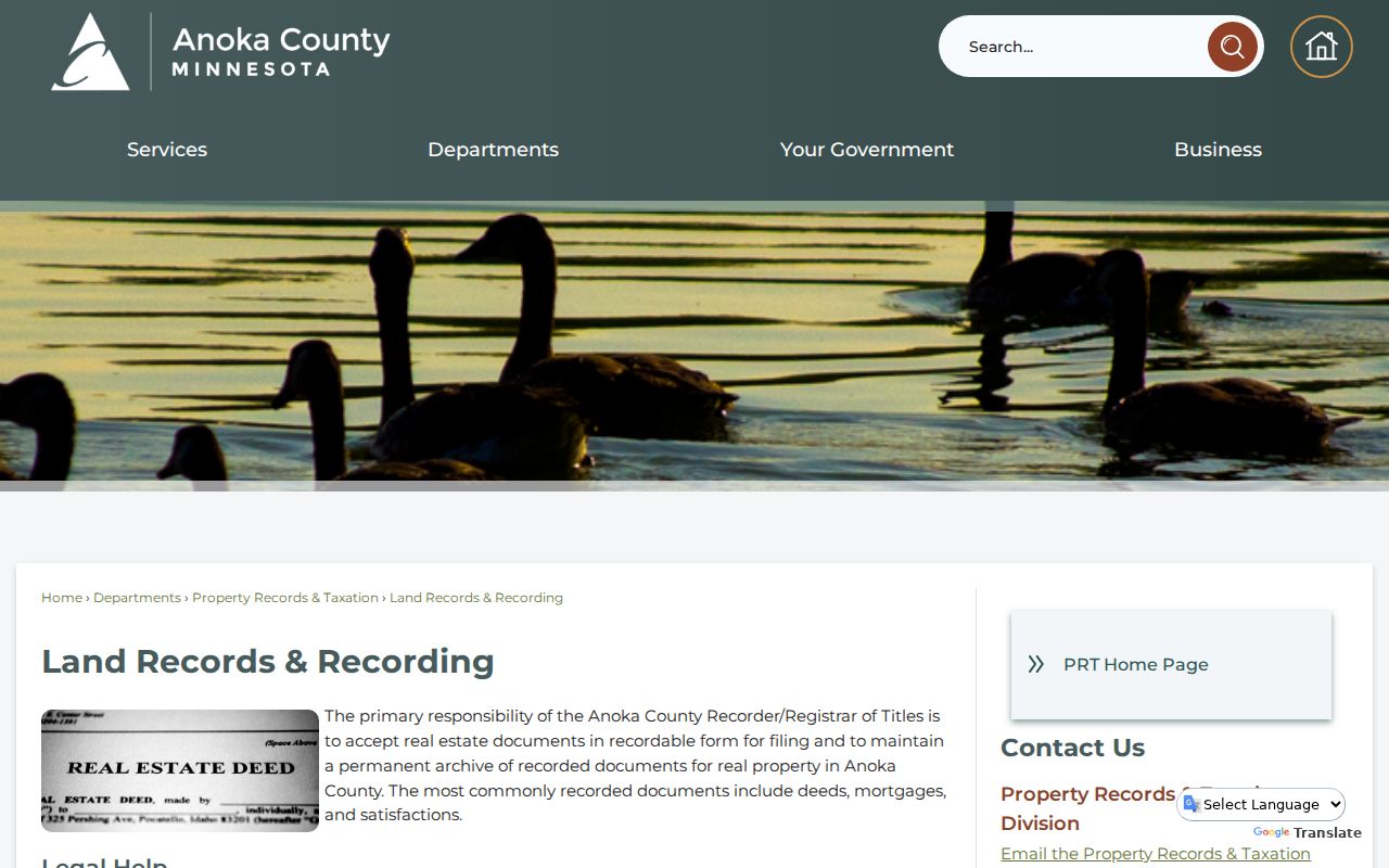
A document image without an instrument number can be slow to use. Room 119 is the better one-off fallback when the subscription index or a street-only search does not answer the parcel question.
Property Alert is another limited route. It is free to enroll by parcel number and can show a subscriber the document number, recording date, grantor, grantee, and images for new activity. It watches for future recordings; it does not create a complete historic chain or certify title.
Columbia Heights Permits by Address
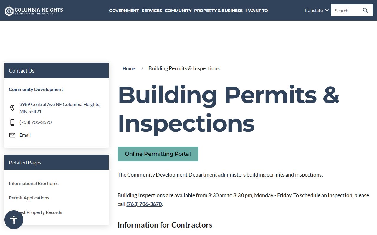
City records can add a dated property event to the county parcel trail. Columbia Heights Community Development directs permit and inspection users to Tyler EnerGov, but the portal did not load during the research capture, so public search fields, coverage dates, and downloadable-record behavior were not confirmed. The safer route is a focused property-record request that names the address or PIN, the record type, a date range, and the preferred delivery method. The city says a response may take several business days.
Columbia Heights Building Permits and Inspections is the official starting point for permit and inspection routing.
The May 2025 residential permit application shows why a specific request is stronger than a broad one. It may hold a site address, an applicant role, contact lines, contractor information, property type, work type, description, dimensions, valuation, and fee lines. Those form fields do not establish current occupancy, and individual records may have public and nonpublic portions.
Columbia Heights code enforcement is a separate address-related source. A notice can identify the nature of a violation, date and time, corrective action, deadline, penalty, appeal right, and reinspection. The posted process gives 17 business days to correct, appeal, seek an extension, or request reinspection, but a case-specific record should be requested from the city.
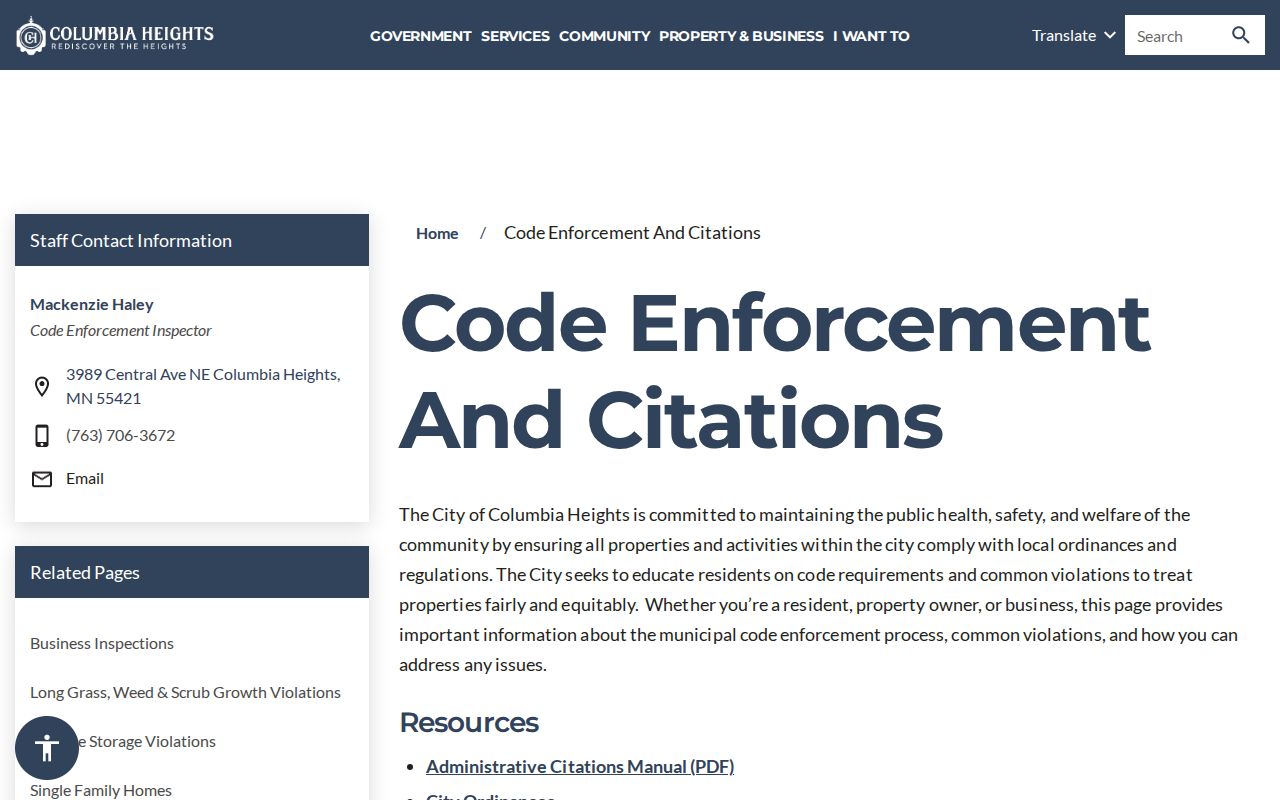
Permit and code records explain a property event. They should not be stretched into a conclusion about who lives on a street.
Note: The city lists Community Development at 763-706-3670, and the City Clerk route can help direct a focused Minnesota Government Data Practices Act request.
Columbia Heights Streetcar Streets
Street history can make a confusing address trail easier to read. The Anoka County Historical Society's streetcar account places Thomas Lowry's line on a single track from 29th to Central in the 1890s. A 1908 ordinance allowed tracks, the line reached 40th and 5th by 1916, and service ended in 1954. The account also places a rural dairy and steel roller-mill setting near 39th and Jackson in 1893, where employee houses were built.
This local history is a record clue, not a resident list. For a street near those corridors, compare the historic context study, a year-matched plat, the 1912 or last-revised-1930 Sanborn material, and the county historical aerials. The sequence can explain a street, building, or subdivision change before a recorder image is ordered. It cannot identify a household from a map alone.
Columbia Heights Street Record Paths
Address-keyed sources hold different kinds of evidence. The practical Columbia Heights street directory trail starts with the parcel map and tax record, moves to the recorder for a legal transaction history, and then uses city material or historical sources for a dated context. Keep the source role beside each note so that an owner, mailing recipient, permit applicant, and historical directory entry are not merged into one claim.
| Street-related record | Columbia Heights keeper | What the record can show | Access route |
|---|---|---|---|
| GIS parcel record | Anoka County GIS | Situs address, PIN, plat, aerials, parcel context | Online viewer; GIS help by phone |
| Tax/property detail | Property Records and Taxation | Tax-year fields, owner and mailing field, legal description | Property site when available; county office |
| Recorded instruments | Recorder/Registrar of Titles | Grantor, grantee, document type, date, instrument number | Subscription, Room 119, or image order |
| Permit or inspection | City Community Development | Existing address-specific property records | EnerGov route or focused city request |
| Precinct geography | Anoka Elections | Precinct, ward, district, and address geography | County precinct finder |
| Historic maps and directories | Historical Society, UMN, library archives | Earlier place names, built form, and address leads | Online collections and research rooms |
For voter information, the boundary is important. Minnesota's address-based registration lookup verifies a known person's registration with full name, birth date, and address. The broader voter database has restricted election, political, or specified law-enforcement uses. It is not a source for publishing a street list.
Columbia Heights Street Request Routes
Not every Columbia Heights street record has a usable online search. For a current parcel question, begin with GIS or the tax/property site, then call Property Records and Taxation at 763-323-5400 if the web service is unavailable. For an instrument, Room 119 and the Recorder's recorded-document contact at 763-324-1157 are the direct county routes. The city holds its own permit, inspection, code, clerk, and council material, so an address request should go to the department that created the record rather than to the recorder.
A written request works best when it identifies the address or PIN, record type, date range, and desired format. The Minnesota Government Data Practices Act is the access framework for city and county government data. Ask for an existing public record and a fee estimate if a copy is needed. The recorder also accepts paper mail or in-person delivery, while approved vendors provide eRecording for documents being recorded. For older map and address questions, the Columbia Heights Library, Anoka County Historical Society, Minnesota Historical Society, and University of Minnesota collections are the documented archive alternatives.
Those routes also preserve a useful distinction: online GIS, county research terminals, a focused city request, and an archive reference question each provide different evidence for a Columbia Heights street.
Old Maps for Columbia Heights Streets
Historic street research should use the map closest to the record date. The Anoka County Historical Society lists road surveys, 1888, 1914, and 1932 plats, and city and county maps ranging from the 1850s to the present. UMN's Sanborn catalog includes 1912 and last-revised-1930 Minneapolis Volume 7 entries for Columbia Heights and Fridley. A building, railroad spur, or business can appear on one of those sheets even when a present parcel portal uses a later description.
Columbia Heights formed as a village on March 14, 1898 from Fridley Township context. Earlier records may name Fridley Township, a plat, a nearby locality, or a postal city rather than the modern municipality. The official research did not locate a complete street-renumbering or street-renaming chronology, so it is better to preserve an uncertain address and ask the map repository or recorder for the correct year than to make a conversion table.
Note: Compare alternate punctuation and fractional addresses with the legal description, because the same parcel can be indexed under several address forms.
Street Directory Privacy Limits
A street directory does not supply a verified roll of current occupants. A parcel owner or owner mailing field is not the same as the person at the situs address, and a tax record, homestead flag, company name, or single annual entry should not be treated as proof of present occupancy or a family connection. Driver data is governed by the federal Driver's Privacy Protection Act, and protected addresses, juvenile data, victim data, and other nonpublic government fields are not made public through a street search.
Minnesota's Government Data Practices Act classifies data as public or not public. Ask the actual custodian for the classification and legal authority when an address-related record is withheld. Safe at Home gives qualifying participants a substitute post-office-box address and forwards First-Class Mail; an absent parcel, voter, or address match is a reason to respect that protection, not to pursue another route.
Lawful use. Use Columbia Heights address records for personal, lawful research and respect redactions, restricted voter information, and Safe at Home protections. Do not use any record to stalk, harass, intimidate, or harm another person.
When a record is needed but no online route works, contact the custodian with the exact address or PIN, record type, and date range. Room 119, City Hall, the Historical Society, and archive reference services are the documented alternatives to a failed web search.