
Columbia Heights Neighbor Records by Block
Columbia Heights neighbors appear in several kinds of public material, none of which is a complete household list. The parcel viewer identifies land and its boundaries. Tax detail can list the current owner and a mailing address. The precinct finder explains address geography. City clerk records and civic sources can document a public role or meeting connection. Keep each source in its lane: a parcel owner is not automatically an occupant, and a historical newspaper subject is not automatically a current neighbor.
| Block resource | What it can establish | Access route |
|---|---|---|
| County GIS parcel map | Parcel lines, PINs, plats, layers, and current or historical aerial context | Online property search |
| Property and tax record | Owner field, mailing address, legal description, tax status, and property facts | County portal or Property Records and Taxation |
| Precinct finder | Precinct, ward, county, city, school, and other district geography for an address | Anoka County Campaign Tools |
| City public records | Existing permit, inspection, code, council, or clerk material tied to an address or event | Focused city request under MGDPA |
| Historical collections | Maps, newspapers, obituaries, census, and civic context for earlier blocks | Library, Historical Society, MNHS, and UMN |
A parcel sample at 1209 43 1/2 Ave NE illustrates the distinction. The GIS result ties that Columbia Heights situs address to a PIN, plat, map links, school and watershed fields, while the owner mailing address is in Spring Lake Park. That mailing city is not evidence about occupancy. For Columbia Heights neighbors, record the source date and label a result as owner, mailing recipient, case party, civic participant, or historic entry.
Columbia Heights Neighbors in Anoka GIS
The Anoka County Property Search supports address, parcel ID, plat, half-section, school, and public-building categories. Use an address as a house number and street, omit city and punctuation, and select the correct match. The map offers regular and aerial basemaps, current and historical aerials, layers, measurement, a print-to-PDF area, and an intersection search entered as street name&street name.
The Anoka County Mapping Applications page shown below organizes the county’s additional map resources.
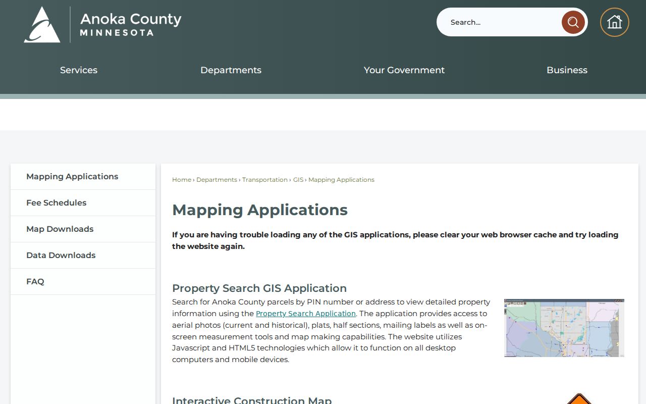
The county’s Mapping Applications page adds water-resource maps with ditch records, maps, legal documents, flood, soil, and watershed layers. These layers add physical and public-service context to a Columbia Heights block. They do not identify residents. Use the map to make a bounded parcel study, then confirm any dated property record through the office that holds it.
Columbia Heights Neighbor Parcel Workflow
For a close block view, the GIS tools provide a defined route from one location to nearby parcels. The Near Me tool can select parcels within an adjustable radius and export a PDF. Point, line, polygon, and buffer selections can also define an area. Those functions are useful for property context, but the Property Access Site warns against data mining or extraction. Do not turn a radius search into a published list of names or addresses.
- Find the starting address, confirm the parcel boundary, and note the PIN, plat, and legal description.
- Click adjacent parcels or use a narrow GIS selection to record parcel relationships and map context.
- Compare the property detail’s owner field and mailing field with the situs address, keeping the fields separate.
- Use the Recorder’s Grantor/Grantee index only when a dated transfer is needed for one parcel.
- For a full street chain rather than one block, use the Columbia Heights street directory route.
The strongest result is often a map-to-record chain, not a single label. Aerials may explain a changed footprint; the legal plat keeps the parcel stable; the Recorder supplies the transfer record. That method avoids treating a map symbol or a mailing address as a statement about a person’s current life.
Columbia Heights Neighbors and Mailing Geography
Columbia Heights has a verified city ZIP of 55421 in the Minnesota DVS county and ZIP crosswalk. Parcel samples likewise show a Columbia Heights situs ZIP of 55421. Yet samples also show owner mailing locations in Spring Lake Park 55432 and Marine on St Croix. The USPS ZIP Lookup remains the current route for an exact delivery line, while the county GIS establishes the parcel’s local geography.
This field mismatch is a local fact, not an error to smooth away. A tax mailing address can serve an owner who does not live at the parcel. A legal description can use the Columbia Heights Annex to Minneapolis plat even though the situs is Columbia Heights. For neighbor research, keep ZIP, postal city, situs, legal description, and dated ownership as different data points.
Mapping a Columbia Heights Block Carefully
The parcel map is especially useful because it keeps the search tied to physical geography. A Columbia Heights map result can include the plat, parcel area, school, watershed, commissioner district, and links to tax detail, half-section, plat, and historical aerials. Compare map labels with the tax record’s legal description before interpreting a lot line or an apparent Columbia Heights neighboring parcel. A fractional street address or a subdivision name can be more durable than a casual street search.
- Locate the address in the property map and select the parcel that matches the street and house number.
- Record its PIN, plat, and legal description before using any adjacent-parcel tool.
- Review nearby parcels as separate records, noting only what the current map and tax fields show.
- Use historical aerials or a plat when the layout, structure, or street label appears to have changed.
For every Columbia Heights block, the access route has useful fallbacks. Columbia Heights researchers can reach GIS staff at 763-324-3100; Property Records and Taxation is at 763-323-5400; and the Recorder’s recorded-document line is 763-324-1157. City Community Development is the route for existing permit and inspection records. A focused request should name an address or PIN, a date range, and the public record sought.
Columbia Heights Neighbors and Precinct Geography
The Anoka County Campaign Tools precinct finder searches by address, street, and house ranges. It can return precinct, ward, MCD, county, congressional, legislative, Senate, judicial, commissioner, city, school, and special-district fields. That makes it an address-geography tool for a block, not a general people locator. Its results are most useful for confirming which public district serves the address.
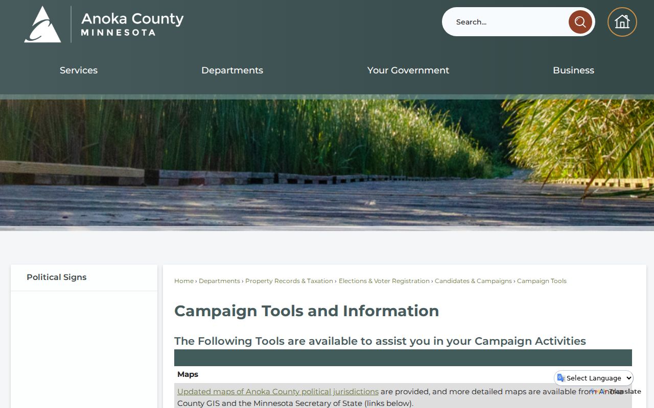
Minnesota’s public voter-list rules are much narrower than a block search. The county says voter data may be used only for election, political, or specified law-enforcement activities. Minnesota Voter Registration Lookup instead verifies a known person using full name, birth date, and address details. It is updated nightly, but processing may take up to 14 days. Neither tool should be used to create a roster of Columbia Heights neighbors.
Columbia Heights Community Connection Sources
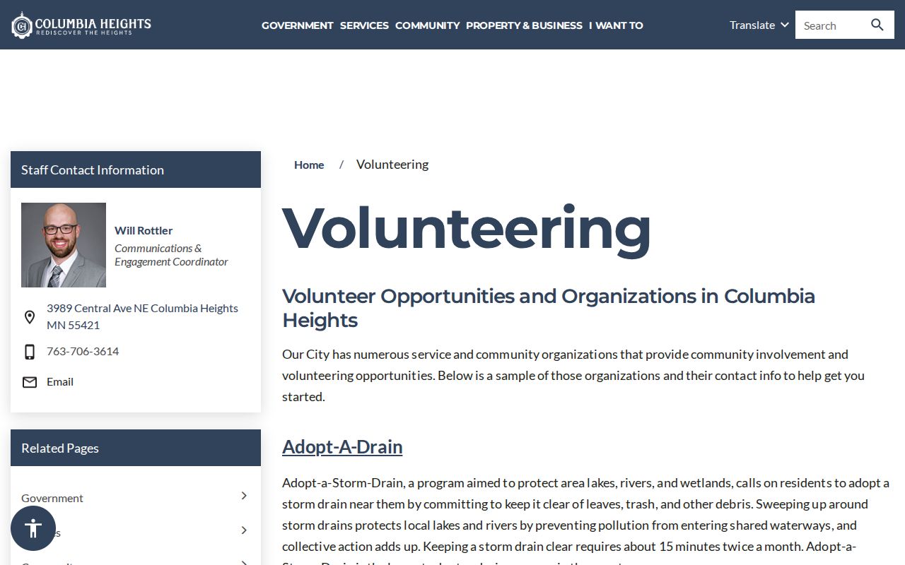
Research identified an official city entry point for volunteer opportunities and community organizations, rather than a verified public neighborhood-association roster. The Columbia Heights volunteering page can supply organization and event context. For a documented civic role, the City Clerk’s agendas, packets, minutes, boards and commission material, and public notices are stronger sources than a current staff listing or an informal neighbor claim.
| City volunteer and organization lead | Columbia Heights volunteering, civic opportunity and organization entry point |
|---|---|
| City Clerk and council records | City Clerk / Council Secretary, 763-706-3612 |
| Columbia Heights Public Library | 3939 Central Ave N, 763-706-3690, local reference and historic material |
| Anoka County Historical Society | 2135 3rd Ave N, Anoka, 763-421-0600, maps, newspapers, census, and local collections |
Use these sources to understand a public civic connection or a neighborhood’s history. They do not establish that a named person currently lives nearby. A request for city records should be precise under the Minnesota Government Data Practices Act, identifying an existing record and date range rather than asking for a broad list of households.
Columbia Heights Neighbors in Historic Context
Historic maps can make a block legible without naming a household. The Anoka County Historical Society has road surveys, 1888, 1914, and 1932 plat maps, plus city and county maps from the 1850s onward. University collections add 1914 and 1916 Anoka plat material and Sanborn volumes with Columbia Heights coverage. Pair the year of the map with the period of the address record, especially when a record uses a plat or a predecessor locality rather than the modern city name.
The Columbia Heights volunteering resource shown below is the city’s official community-organization entry point.
One local historic thread follows the streetcar. Historical Society material places the line in the 1890s, records extensions to 40th and 5th by 1916, and notes abandonment in 1954. It also describes industrial activity near 39th and Jackson. That context can guide a search in plats, newspapers, and Sanborn sheets, but it does not establish the identity or occupancy of an individual property.
Columbia Heights Neighbors: Official Records Compared
Official sources have a clear advantage for a bounded, date-aware question. They identify the custodian, the record type, and the legal limits. Private commercial lookup tools may combine information from many periods and sources, but their display does not replace an Anoka County map, recorded instrument, or city-held public record. Use the official record for confirmation and keep the result tied to its date and role.
| Question | Official route | What remains uncertain |
|---|---|---|
| Which parcels border an address? | Anoka County GIS | Current occupancy and relationships among households |
| Who owns a parcel of record? | Tax record and Recorder instrument | Whether the owner lives at the situs address |
| Which districts serve an address? | County precinct finder | Individual voter identity or voting history |
| What changed historically? | Plats, aerials, newspapers, and archival collections | A complete list of everyone who lived nearby |
Columbia Heights Neighbor Privacy Limits
Public availability does not erase privacy rules. The MGDPA classifies government data as public or not public under statute, while courts, vital records, and elections have additional boundaries. Minnesota Safe at Home assigns participants a substitute PO Box and forwards First-Class Mail while protecting the real location. A missing parcel result, an absent voter match, or a substitute address is a privacy signal, not an invitation to broaden the search.
The Columbia Heights property-record request page shown below is the city’s public request route.
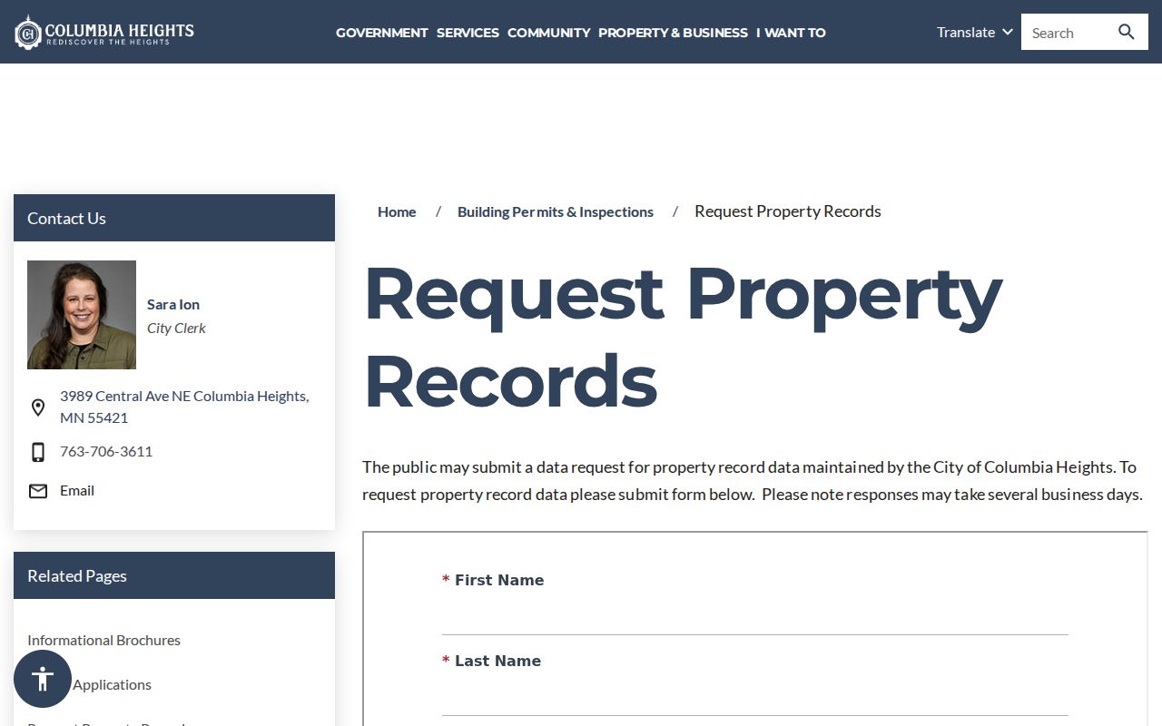
The City of Columbia Heights provides a property-record request route for existing city records. The reviewed embedded form did not expose its fields or submission details, so confirm the current method with the city. Ask only for defined public records. Do not request or try to reconstruct protected addresses, private phone numbers, dates of birth, or sensitive case information.
Lawful use. Columbia Heights neighbor research can support civic curiosity, family history, and a clearer understanding of a block. Do not use records or map tools to watch, harass, intimidate, or harm anyone.