
Columbia Heights Previous Residents by Era
Different records describe different points in an address history. The Anoka County parcel map gives a present-day parcel identity and a PIN. The Recorder/Registrar of Titles keeps the recorded instruments that can be followed from one transfer to the last. For earlier household clues, Columbia Heights researchers need archival census, newspapers, plats, and map collections. The sources below have distinct date ranges and limits, so they should be used as a sequence rather than treated as one continuous resident roll.
| Trail source | Time span | Access point | Address-history use |
|---|---|---|---|
| Parcel GIS and tax record | Current portal data; a 2026 tax sample was reviewed | Anoka County Property Search and Property Records | PIN, situs address, plat, lot/block, tax fields, and owner mailing address |
| Recorded-document index | Official online cutoff not located | Subscription route or Recorder Room 119 | Grantor, grantee, instrument number, recording date, and document type |
| MNHS People Records | Birth 1900-1934; death 1904-2001; census 1849-1905 | Minnesota Historical Society | Historic names, place clues, and index references |
| Anoka Historical Society | County census 1857-1920; maps and newspapers vary | History Center and research collections | Obituaries, maps, newspapers, cemetery, and local context |
| Sanborn and plat materials | 1912 and last-revised 1930 maps; 1914 and 1916 plats | UMedia and University of Minnesota collections | Building footprint, street setting, lot, and subdivision context |
Begin with the current parcel when the address is known. Begin with a dated newspaper, census, or vital-index clue when the address is not yet certain. For a Columbia Heights address, the County Recorder’s public page does not state a complete online coverage year, so older transfers often require a Room 119 visit or a focused written question. A missing web result is a cue to change access channel, not proof that the address has no older trail.
Columbia Heights Past-Resident PIN Trail
The Anoka County Property Search is the practical first stop for a Columbia Heights house history. Search a house number and street, or use a partial street fragment without city name or punctuation. The county’s instructions also support parcel ID, plat, half-section, school, and public-building searches. Preserve the PIN exactly, with or without its dashes, because it is the stable bridge between the current map, tax detail, and a request for recorded documents.
A Columbia Heights parcel page may list a situs address, a legal plat, lot and block, a tax district, map links, and a current owner or mailing address. Those fields should not be collapsed into a claim about who lived there. A Columbia Heights property can have a local situs address and an owner mailing address in another city. Keep a dated note for each source, then use the legal description and PIN to reduce the chance that an old street reference points to the wrong parcel.
- PIN
- A parcel identification number, used by Anoka County to connect property and tax records.
- Situs address
- The physical location of the parcel, which can differ from the owner’s mailing address.
- Legal description
- The plat, lot, block, or survey language that identifies land more precisely than a street label.
Columbia Heights Previous Residents in Maps
Maps help date the place before they help name a household. The University of Minnesota’s digitized Anoka plats include a 1914 interactive Webb map and a 1916 plat book. The UMedia catalog also identifies a 1912 Minneapolis Volume 7 and its last-revised 1930 edition as covering Columbia Heights and Fridley in Anoka County. A plat can translate an old lot and block, while a Sanborn sheet can show a building footprint or industrial setting.
The Minnesota Historical Society finding-aid index is the source shown below and should be checked for current access terms before making a request.
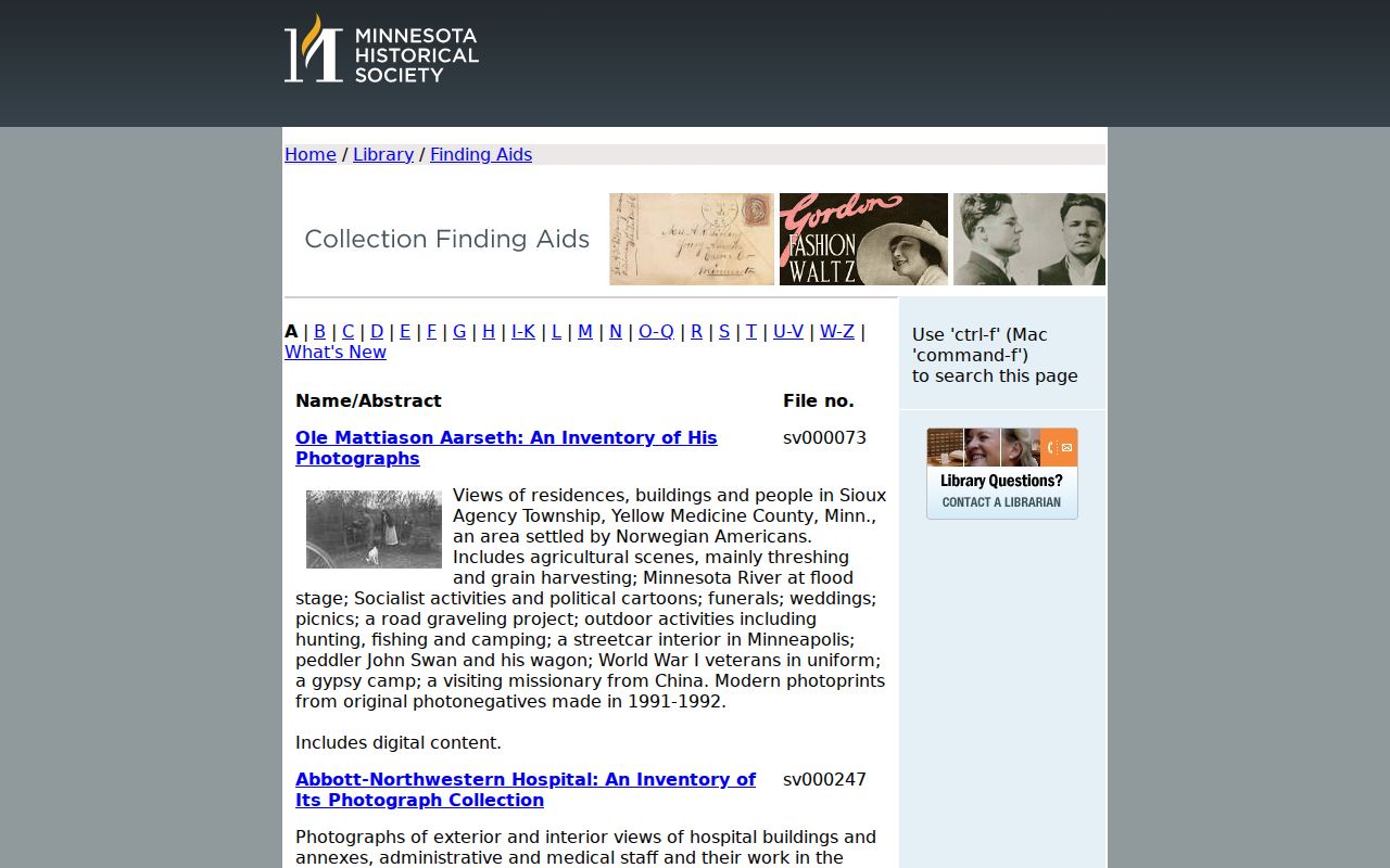
The Minnesota Historical Society finding-aid index is another route for a long address trail. Its Columbia Heights Municipal Court listing describes indexed civil and criminal dockets from 1920-1969, a 1927-1929 judgment book, and a 1926-1950 police arrest register. Ask staff about access and restrictions before requesting an item, and treat a name in such a record as a historic record role rather than proof of a present connection to the address.
Columbia Heights Past Owners Through Deeds
Previous residents and prior owners are separate questions, but a Columbia Heights recorded deed chain is often the best dated backbone for both. The Anoka County Recorder/Registrar of Titles is the permanent archive for deeds, mortgages, satisfactions, and other real-property instruments. Search both grantor and grantee sides of the index, then confirm the instrument number, recording date, document type, parcel, legal description, and image route. Minnesota’s recorder-index statute, Minn. Stat. §386.03, describes the reception index fields that should be available for an instrument.
- Use the current GIS result to record the parcel PIN, situs address, and complete legal description.
- Find the current owner as grantee in the recorded-document index and note the instrument number and recording date.
- Read the named grantor on that transfer, then search that person as a grantee for the earlier acquisition.
- Repeat the comparison of names, dates, document type, and legal description for each transfer rather than relying on a street address alone.
- When the online route does not reach the needed record, use the Recorder’s Room 119 terminals or request a focused index or copy search.
- Grantor and grantee
- The grantor transfers an interest; the grantee receives it in the recorded instrument.
- Chain of title
- A dated sequence of recorded transfers tied to the same legal parcel.
- Instrument number
- The recorder’s identifying number for a document, useful when asking for an image or copy.
Columbia Heights Recorder Access for Past Residents
Recorded Document Access offers three different channels. Ongoing Grantor/Grantee research uses a subscription with a billing account and license agreement. The public research area in Room 119 has terminals for real-estate and tract inquiry on weekdays, excluding holidays. Bulk optical images cost $0.15 per image, but they are image-only and do not include the Grantor/Grantee index. Plats are excluded from the bulk set because of size.
The Anoka County fee schedule shown below is the source for the copy and plat figures.
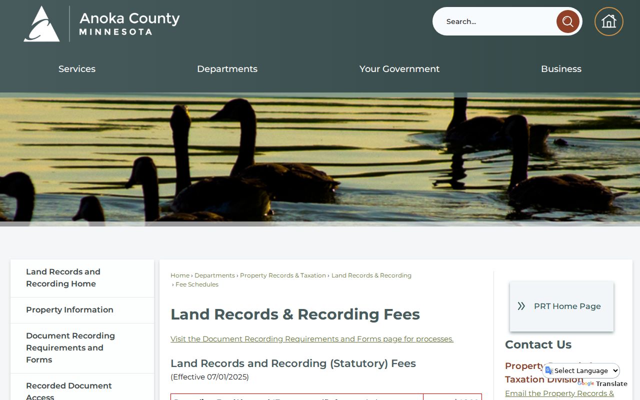
The Anoka County fee schedule, effective July 1, 2025, lists $2 for an attested copy, $10 for a certified document copy, $10 for a plat copy, and $15 for a certified plat. Recording fees and taxes are separate items. Confirm the current schedule and whether a requested Columbia Heights item is Abstract or Torrens before ordering, because those systems have different requirements and charges.
Note: The county’s official page did not state a complete public online index cutoff, so do not assume a web search covers every older Columbia Heights transfer.
Columbia Heights Annex Records for Past Residents
Old land records may not use the modern street wording. One reviewed tax sample for 4428 5th St NE identifies lots 8 and 9, block 19, in the Columbia Heights Annex to Minneapolis plat. Another Central Avenue sample uses the same plat name. That is a subdivision label, not evidence that a current Columbia Heights parcel lies in Minneapolis. Searching the plat name, lot, block, and PIN can recover a record that an address-only query misses.
For periods before the city formed as a village in 1898, look for Fridley Township context, nearby locality names, and the recorded plat. The City of Columbia Heights reports that the early village began with a small administrative footprint, so an older record may live with Anoka County, a state archive, or a historical collection rather than a present-day city department. Keep the source’s own locality wording in research notes.
Columbia Heights Previous Residents in Household Records
Land transfers do not identify every household. The Anoka County Historical Society holds newspapers, obituaries, census material, vital-statistics indexes, cemetery information, maps, and microfilm. Its census holdings cover Anoka County from 1857-1920. For indexed statewide leads, MNHS People Records includes birth records from 1900-1934, deaths from 1904-2001, and census records from 1849-1905. Use a directory entry, census line, obituary, or newspaper notice to describe the role it actually records.
Directory resources need a jurisdiction check. Hennepin County Library’s Phone Books & City Directories collection documents runs for Minneapolis and several Hennepin County communities, not a verified Columbia Heights-specific run. Its house-history guide explains reverse searching by address and comparing names, spouses, roomers, occupations, and businesses across years, but the guide is Minneapolis-focused. The historical collections themselves are described in the Columbia Heights city directory page.
- Set the parcel’s legal description beside the map or plat from the closest period.
- Search the household name and street in the newspaper and directory sources available for that era.
- Pair the result with the nearest applicable census or MNHS index, recording the date and source role.
- Use a Recorder instrument, probate lead, or obituary only to test the dated trail, not to merge same-name people.
Lawful use. Columbia Heights previous-residents research is best kept to family history, heir questions, and address history. Do not use historic or current records to track, harass, or harm a living person.
Columbia Heights Past-Household Newspaper Titles
The newspaper trail has a local trap worth preserving. The Historical Society identifies Columbia Heights Pioneer issues from January through November 1939, followed roughly a month later by the Columbia Heights Record. A search that begins only with the later title can miss the earlier run. Search both titles with a person, business, street, church, or civic term, then confirm the original issue before treating a notice as evidence for a household timeline.
Historic maps, tax detail, directories, and newspapers work best as paired evidence. A 1912 or 1930 Sanborn sheet can establish building context, while a dated instrument establishes a transfer. Neither one alone settles who lived at a Columbia Heights address. The result is a more careful Columbia Heights trail for previous residents, with uncertainty recorded where the archive or web index ends.